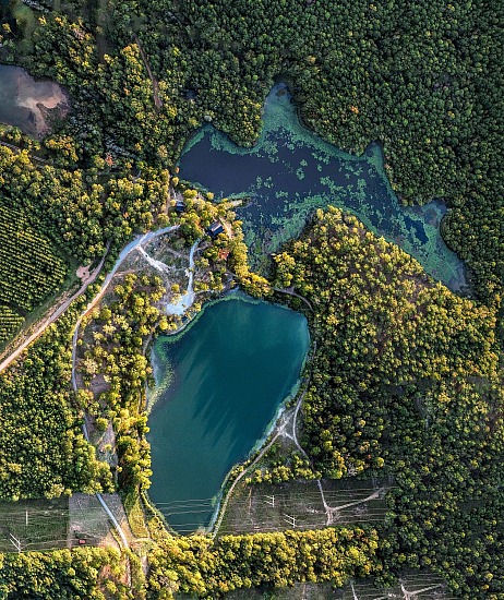
In addition to hunting, fishing, and outdoor photography, Hanley Outdoors also specializes in helping you better understand your property by providing aerial photos and diagrams.
Hanley Outdoors has provided commercial aerial services as an FAA Part 107 Certified Commercial Drone Operator since May 2019. We carry full commercial aerial liability insurance, and utilize a fleet of industry-standard unmanned aerial vehicles (UAVs/drones) to capture our aerial content.
Basic aerial diagrams start at just $500 for most properties, and we can provide printed versions of our images on a variety of substrates suitable for indoor or outdoor use.
NOTE: Hanley Outdoors does not provide any mapping services. Any references to scale are approximations. All aerial diagrams we provide should be considered artwork for entertainment and discussion purposes ONLY, and cannot be relied upon by our clients or any third party for planning, construction, topography, property line identification, setbacks, measurements of any kind, or any other service typically provided by individuals licensed to provide the aforementioned services.